GIS Mapping: The Art of Transforming Data to Depiction
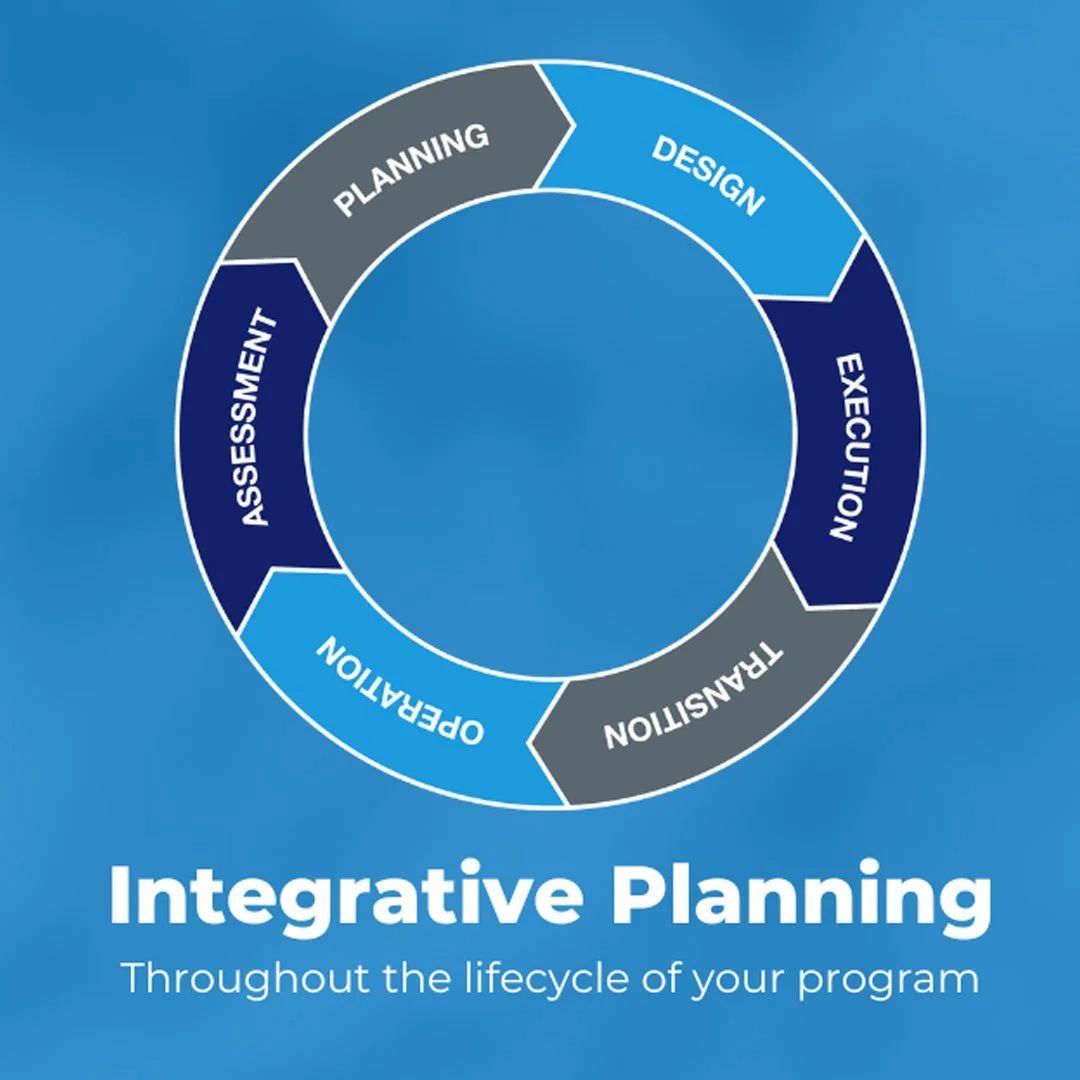
Among the most sought-after services offered by HPM is Strategic Planning, a comprehensive approach to the building and maintaining of large-scale capital facilities. Our Planning Services group works alongside clients to establish best practices for operations in a wide variety of professional fields including education, sports and recreation, aviation, hospitality and more. Implementing a wholistic, strategic approach to planning in K12 school systems maximizes the functionality and lifespan of facilities, enabling our clients to better serve their students, faculties and community stakeholders.

Geographic Information Systems (GIS) software programs prove to be a vital component in taking integrative planning to the next level, as they allow complex, expansive data sets of buildings or campuses across the country to be easily visualized. Within K12, GIS can ease the burden of visualizing student data sets and understanding the demographics of specific school districts, as well as mapping school campuses and locations within cities. This use of digital mapping systems is particularly helpful to clients and decision makers, as it paints a picture of numbers and statistics that are digestible and easy to comprehend. Knowledge is power, and educating vested parties on the project at hand using software of this nature equips them to make decisions that will be in the best interest of the students they serve.
Similar to the digital map kiosks used in airports or shopping malls, GIS can create similar types of functional maps to assist large schools with multiple buildings on campus. These can also be built into mobile apps. With much of the population identifying as visual learners, the ability to create a realistic picture of concepts under discussion can be transformative and unifying. During the K-12 planning process, community meetings are a huge part of gaining public approval and feedback from the people the schools directly impact. GIS can create a facilities dashboard, where all community members can click around a map to easily visualize case studies, facility reports, enrollment projections and other data. This level of interactivity allows individuals to feel that they are a vital part of the planning process rather than mere observers.

“If you can dream it, we can map it.”
Scott Leopold, Director of Planning Services, HPM
GIS plays a vital role in site selection and contractor procurement. Mapping tabular data helps clients easily visualize and perform an analysis on what locations are the best for their projects based on local demographics or whichever factor is important to them. This provides greater detail for districts as they think through ideal options and locations for their facilities. Having a well-rounded understanding of the benefits and negative aspects of the opportunities on the table provides peace of mind and confidence when making weighty decisions that will affect future generations.
HPM has a team of GIS experts who are ready to serve your school system, institution or company as you navigate the complexities of facility planning. Our planning group provides you with the data and tools you will need to make beneficial decisions with lasting impact.